Road Book of Boston and Vicinity (1895)
Edited by Charles A. Underwood189581 chapters28 images

Contents
- Alphabetical index of some 300 places from Arnold Arboretum and Auburndale to Woonsocket and Worcester, giving for each the page of the route that reaches it and its mileage from Boston (Worcester 45, Albany 195, New York 258).
- Copley square out Dartmouth street to Commonwealth avenue, through Back Bay Park and left on Beacon street to Chestnut Hill Reservoir, 5 miles. Beacon street is called the shortest way and the finest boulevard in the country; Commonwealth avenue leads to the main entrance and abounds in fine coasts.
- Return route of 5 miles from the Reservoir main entrance through Brookline (Washington, Park, Marion coast, Harvard, Sewall, Kent) and Longwood (Dudley, Hawes, Monmouth, St. Mary's) to Beacon and Dartmouth streets. A favourite return for Reservoir moonlight parties, past many fine suburban residences.
- Copley square by Columbus and Massachusetts avenues to Warren street and Walnut avenue for Franklin Park (4 miles), then Glen Road coast, Jamaica Plain, Centre, Pond, Newton and Hammond streets to the Reservoir rear entrance, 9 1-2 miles. Notes the lower-basin drive of 1.17 miles where Aggassiz won the championship mile in 3.21 1-4 and R. S. Codman set the quarter-mile record of 38 5-8 seconds.
- Short 6 1-2 mile run from Harvard square by Brattle street to Mount Auburn (1 1-2 miles), Belmont and Lexington streets to Waverly (4 1-2 miles), then over the railroad by Mill and Water streets to Belmont Springs.
- Three and a quarter miles from Copley square out Commonwealth avenue to Cottage Farm, over the Essex Street Bridge and by Brookline, Chestnut and Magazine streets to Central square, Cambridgeport.
- Boylston street and Back Bay Park to Beacon street and Chestnut Hill avenue for the Reservoir (5 miles), then Hammond, Newton and Pond streets (coast carefully), the Jamaica Way, Arnold Arboretum, Forest Hills Station and Morton street to Franklin Park, whose driveway is 200 feet less than a mile and hosts the City Fourth of July races.
- Ten miles by Commonwealth avenue, Beacon street and Chestnut Hill avenue to Brighton (4 miles), Oak square, Newton (6), Newtonville, West Newton, Auburndale (9) and Charles street to Riverside. The Newton Boat Club house is here and dinner can be had at Mr. Edward Anderson's, the Roxbury Club's rendezvous.
- Follows Route thirty-nine to Ipswich (35 3-4 miles), then Essex street and Northern avenue to Essex (40 1-4), Southern avenue through Essex woods to Manchester (44 3-4) and Western avenue to Gloucester, 52 miles. The Ipswich-to-Manchester road is called one of the finest in the state.
- Three miles by Commonwealth avenue, St. Paul, Longwood, Harvard and Beacon to Summit Hill avenue. Gives the hill's dimensions: 2,300 feet long, 199 feet high, average rise 1 in 11.41 and a steepest last 158 feet of 1 in 7.85, first climbed by Mr. H. D. Corey of Boston.
- Four miles of excellent road from Copley square by Newbury street and Massachusetts avenue over Harvard Bridge to Harvard square. Recommends the Hemenway Gymnasium, Memorial Hall, Agassiz Museum and the Washington Elm, and notes the half-mile bicycle track on Holmes' field.
- Columbus and Massachusetts avenues, Harrison avenue, Warren street and Walnut avenue to Franklin Park, then Morton street to Forest Hills Cemetery and Walkhill street to Mount Hope. Warns that bicycles are not allowed in any of the cemeteries.
- Twenty-three miles by Columbus and Massachusetts avenues, Boston, Hancock and Adams streets through Milton Lower Mills (6 1-2), East Milton (8 1-2), Quincy (11), South Braintree (14 1-2) and Holbrook (18) to Main street, Brockton.
- A favourite four-mile evening run by Columbus and Massachusetts avenues, Cottage, Dorchester and Crescent avenues and Carson street to the pumping station in the Calf Pasture, Dorchester Bay, whose tunnel carries the city's waste water nearly two miles under the bay to Moon Island.
- Seven and a half miles entirely through the park system: Commonwealth avenue, Back Bay Fens, Brookline Way and Jamaica Way past Jamaica Pond (5 1-2 miles) and the Arnold Arboretum, then Morton street to Franklin Park.
- Massachusetts avenue over Harvard Bridge to Central square, Cambridgeport, then Prospect street and Webster avenue to Union square, Somerville, 4 1-2 miles. Central Hill carries the old fort built partly of Revolutionary relics.
- Massachusetts avenue over Harvard Bridge to Harvard square (4 miles) and Brattle street to Mount Auburn, 5 1-4 miles. Mt. Auburn was established by the Massachusetts Horticultural Society in 1831 and is the oldest garden cemetery in America; Fresh Pond Lane lies opposite.
- Ten miles by Harvard Bridge, Harvard square and Massachusetts avenue to Porter's Station (5 1-4), then Russell, Elm, Harvard, College, Pearl and Medford streets to Medford (8) and Forest street into the Fells. A favourite for cycle picnics and Sunday runs, with boats for hire but no good hotel and quite hilly roads.
- Route Twenty-three as far as Northboro (34 miles), then South Berlin, Berlin, West Berlin, Clinton (42 1-2), Sterling and East Princeton to Mount Wachusett, 56 miles. Roads beyond Clinton run from good to bad and the hills should all be coasted carefully.
- Street-by-street directions from Copley square via Commonwealth avenue, Beacon, Winchester, Warren, Cambridge, Tremont and Park streets through Waltham by Crofts, Waltham, High, Maple, Felton, Highland and South streets to the Waltham track.
- Beacon street past Chestnut Hill Reservoir (5 miles), Newton Centre and the Great Sign Boards to Newton Lower Falls (10), Wellesley Hills (11 1-2) and Wellesley (13 1-4), then Washington street to the Hunnewell Estate, 14 1-2 miles. The grounds are private but visitors are generally admitted on application at the mansion.
- Beacon street to the Reservoir (5 miles), Newton Centre (7), Centre street to Newton Highlands (8 1-4) and Boylston street to Echo Bridge, 9 1-4 miles - a granite span over the Charles carrying the Boston Water Works conduit, where nine distinct echoes answer a bugle blast.
- Massachusetts avenue over Harvard Bridge to Harvard square (4 miles), Porter's Station, Arlington (7), East Lexington (10) and Lexington Common with its monument, 12 1-4 miles. Substantially the path of the British troops to the Battles of Lexington and Concord; Route 24 rides better but has no historical interest.
- Forty-five miles by Beacon street past the Reservoir, Newton Centre, Newton Lower Falls, Wellesley (13 1-4), Natick (17 1-4), South Framingham (20), Framingham Centre (22), Southboro (29), Northboro (34) and Shrewsbury (40). Advises a detour by Pond and Mill streets at Natick to avoid the sand by Cochituate Lake; the sand-paper district ends at Framingham Reservoir, and Deerfoot Farms and St. Marks School are at Southboro.
- Commonwealth avenue, Linden, Cambridge and North Harvard streets to Mt. Auburn (5 3-4), Belmont and North streets to Waverly (8 1-2), East Lexington (11 1-2) and Lexington, 13 1-2 miles. About a mile longer than No. 22 but with an excellent road bed.
- Printed without a destination line: through the park system to the Arnold Arboretum, South street to Roslindale (7 1-2), Poplar, Canterbury and Hyde Park avenue to Hyde Park (11), Readville (12) and Brush Hill Road to Great Blue Hill. Fifty cities and towns can be seen from the observatory at the summit; return via Blue Hill avenue.
- Massachusetts avenue and Harvard Bridge to Harvard square (4), Arlington (7), East Lexington (10), Lexington Common (12 1-4), a poor stretch of Lexington Road to Concord Common (18), Concord Junction (20) and Laws Brook Road to South Acton, 23 miles. Points out the Hawthorne house, Alcott house, Emerson homestead, Wright Tavern, the Old Manse and the 'One Arch Bridge' scene of the Battle of Concord.
- Franklin Park (4 miles), Morton and Austin streets to Mattapan (7), Blue Hill and Washington street through Ponkapoag to Canton (13) and Sharon (18) for the Massapoag Lake Hotel. Gives an alternative by Blue Hill avenue and Cobb's Tavern (18 1-2 miles) and driving distances from the hotel to Canton, Stoughton, Walpole, Foxboro, Brockton, Norwood and Dedham.
- An unnumbered route printed below Route Twenty-seven: same as Route Forty-three to West Roxbury (7 miles), then Charles River Bridge, Needham, Causeway street and Great Plain avenue to Needham (11 1-2), Wellesley (15 1-2) and South Natick, 17 3-4 miles. Great Plain avenue in Needham is said to have no superior as a road bed.
- Commonwealth and Brighton avenues (past the mile ground) and North Beacon street to Watertown (5 3-4), Waltham (8 3-4), Weston Station (12 1-4), North avenue, South Lincoln and Walden street past Walden Pond to Concord, 18 3-4 miles.
- Commonwealth and Brighton avenues, Cambridge street to Brighton and Washington street through Newton (6 3-4), Newtonville and West Newton to the Woodlawn Park Hotel, 9 1-2 miles - the recognised dining place for Boston wheelmen. Return by the Great Sign Boards and Beacon street to Chestnut Hill Reservoir.
- Twenty-two and three quarter miles via Harvard square (3), Day and Elm streets past the Old Powder House, Medford square (7 1-2), Malden (9 1-2), Maplewood (11), East Saugus (14 3-4), Lynn Common (16 3-4) and Lafayette and Central streets to the Essex House. Suggests shortening the run by the Chelsea Ferry and an after-dinner ride on to Beverly, Manchester and Gloucester.
- Beacon, Temple, Stamford and Causeway streets to City square, Charlestown (2 miles), Sullivan square (3 1-4), Oxford street over Malden Bridge to Everett Station (5 1-4), then Main street through Malden (7), Melrose (9), Melrose Highlands, Wakefield (12 3-4), Reading (15 3-4) and Andover (25 1-4) to Lawrence, 29 1-2 miles.
- The direct ten-mile line to the Woodlawn Park Hotel: Commonwealth avenue and Beacon street to the Great Sign Boards, then right on Washington street.
- Warren and Washington streets over Codman and Milton hills to East Milton (8), Quincy (10 1-2), Quincy Point (12 1-4), North Weymouth (14), Hingham (17), Nantasket P. O. (19 1-2) and Hull, 24 miles. Roads near the beach are sandy in dry weather; Downer's Landing, reached by the first left after Weymouth Draw Bridge, is noted for clam and fish dinners.
- Out by Columbus and Massachusetts avenues, Harrison avenue, Warren street and Walnut avenue to Franklin Park (3 3-4 miles) and back by Morton and South streets, the Arnold Arboretum, Jamaica Way and Back Bay Fens. The park covers about 500 acres, has miles of macadam, a half-mile coast toward Morton street and the city Fourth of July races.
- Harvard Bridge to Central square (2 miles), Prospect and Washington streets to Sullivan square, then Rutherford, Austin, Main and Warren streets and Monument avenue to the Bunker Hill Monument and on by Chestnut and Wapping streets to the Navy Yard, open to visitors on week days 7.30 to 4.30.
- Through the park system and Arnold Arboretum to Roslindale (7 1-2) and West Roxbury (9 1-2), Spring street to the Charles River (10 1-2), High street to West Dedham (13 1-2), then Medfield (17 1-2), Millis (20 1-2), West Medway (24 1-2) and Milford street to Milford, 29 1-2 miles.
- Route Twenty-three to South Framingham (18 miles), then past Sherborn Prison to East Holliston Depot (22), Holliston (23), Braggville (27) and Milford, 30 miles. Good to Holliston, then quite sandy or muddy according to the weather.
- Harvard square (3) and Porter's Station (4) by Russell, Elm, Harvard and Medford streets to Medford (7 1-2), then Fulton street, Wyoming avenue and Main street to Stoneham (11 1-2) and Reading, 15 1-2 miles. Returns by Lake Managowitt, Wakefield, Crystal Lake, Greenwood, Melrose and Malden; the direct Forest street way has a very poor road bed.
- Route 59 to Beverly (24 1-4), then Rantoul street and the horse-car track through North Beverly, Wenham, Hamilton and Ipswich (35 3-4), First street to Rowley (40), side path to Georgetown (46 1-2) and Groveland (50) and on to Haverhill, 53 1-4 miles. Points of interest include Whittier's birthplace, Lake Kenoza and 'Castle Winnekenni'.
- Route Twelve to Brockton, then West Bridgewater (28), Bridgewater (31), North Middleboro (36), Lakeville (40) and Acushnet (53) to New Bedford, 57 miles. The roads from Middleboro to Acushnet are mostly unrideable and the train is recommended.
- Commonwealth avenue and North Beacon street through Brighton and Watertown to Waltham (8 1-2), Weston (13), the Worcester Turnpike to Wayland (18), South Sudbury (23) and the Wayside Inn, 25 miles - the hostelry made famous by Longfellow's 'Tales of a Wayside Inn'.
- Route Twenty-three to Northboro (34), then South Berlin, Berlin (38 1-2), West Berlin (40), Clinton (42 1-2), South and North Lancaster (46 3-4), Leominster (53 1-4) and Fitchburg, 58 miles. Good roads with few hills, exceptionally good through Lancaster; turn right at Berlin for Hudson, 4 miles.
- Park system and Arnold Arboretum to Roslindale (7 1-2), Centre street to West Roxbury (10), Dedham Centre (13), Washington street to Norwood (19) and Walpole, 24 miles. Nearby are Moose Hill with a view of 60 towns, Massapoag Lake, Highland Lake Grove and Lake Pearl at Wrentham.
- Route Fifty-seven to Lynn Common (16 3-4), then Market and Broad streets and the horse railroad to Marblehead, 22 1-2 miles. Lists the Lee Mansion, St. Michael's Church of 1714, Fort Sewall Park, the Old Hill Burying Ground, Moll Pitcher's birthplace and the Fountain Inn Well, with the Churn, Great Head and Eastern Yacht Club at the Neck.
- Fifty miles by the park system, Arnold Arboretum, Roslindale, Dedham (14), Norwood (16), Walpole (21), Pondville (28 1-2), Wrentham (31), Wampum, Plainville (35), North Attleboro (37) and Pawtucket (45). Points of interest are Roger Williams Park, the Cove, Brown University, the Arcade and Quaker College.
- Route Fifty-four to Quincy (13 3-4), then Coddington and Sea streets to Hough's Neck, 17 miles - a summer resort at the end of Quincy Peninsula becoming a favourite with bicyclers for its fine fish dinners.
- Route Fifty-nine to Beverly, then Rantoul street and horse-car tracks through Wenham, Hamilton and Ipswich (13 miles from Beverly), Rowley (16), Newbury (23) and High street to Newburyport, 25 1-2 miles. Part of the original 100 miles road race; notes the homes of Caleb Cushing, Lord Timothy Dexter and Greely the Arctic explorer, and the Old South Church where Whitfield is buried.
- Route Thirty-eight to Reading, then Main street to Andover (23 1-2) and Lawrence, 30 miles. Roads beyond Reading are only fair; wheelmen should see the Pacific Mills, the Lawrence Dam and the reservoir view over the city.
- Route Forty-seven to Newburyport (49 3-4), then the horse-car track to the Chain bridge, Amesbury (52 1-4), Seabrook (53 1-4), Hampton (61) and Portsmouth, 72 miles. Explains how to dodge the Seabrook sands by the chain bridge and the guide boards at Rocky Hill Meeting house; an easy day's run for any fair rider.
- Route Thirty-eight to Medford (8 3-4), then High and Purchase streets to Winchester (11 1-2), horse-car track to Woburn (14 1-2), Winn street to Burlington (17 1-2), Billerica (23), Lowell (30), Middlesex Village (32), Tyngsboro (36 1-2) and Nashua, N. H., 42 1-2 miles. Roads beyond Lowell are mostly poor.
- Route Fifty-four to Brockton (24 3-4), then W. Elm street, Warren and Forrest avenues past the Fair grounds to North Easton (28 3-4), Hockamock Swamp, North Raynham (36), Taunton (39), Dighton (44 1-2), Somerset (50) and Fall River, 55 miles. From Taunton follow the right bank of the river; roads not very good.
- Ten miles from the Reservoir by Beacon, Hammond, Newton, South, Church and Centre streets to West Roxbury, then Spring and Bridge streets over the Charles River and Ames street and Washington street into Dedham.
- Nine miles by Commonwealth avenue, Gloucester and Beacon streets, then Chestnut avenue, South, Ward, Centre, Homer, Fuller and Woodlawn streets to Auburndale; the road is marked excellent as far as Fuller street, then fair. Return by Washington street and Newton.
- Columbus and Massachusetts avenues, Boston, Hancock and Adams streets and Neponset avenue over the Neponset River Bridge to Quincy (11), Braintree (13), South Braintree (14), Randolph (18 3-4), East Stoughton (21) and Brockton, 24 3-4 miles, with a three-mile branch to Stoughton centre.
- Sixteen and a half miles by Columbus avenue (asphalt), Massachusetts avenue, Swett, Columbia and Washington streets over Codman Hill to Dorchester (6 1-4), Milton Lower Mills, Milton Hill, Central avenue, Ponkapoag and Canton. Cobb's Tavern looks like a farmhouse of a century ago and is known to Boston cyclists for its dinners; Codman Hill has a short stiff grade to coast carefully.
- Columbus avenue, Massachusetts avenue, Swett, Boston, Columbia and Washington streets over Codman Hill to Dorchester (6 1-2), Milton Lower Mills, Milton Hill and Adams street to East Milton (8 1-2) and Quincy, 11 1-2 miles. Milton Hill is a very hard climb and should only be coasted by skilful riders with brake on; Quincy is the home of the Adams family.
- Harvard square (3), Porter's Station (4), Medford (7 1-2), Malden (9 1-2), Maplewood (11), East Saugus (14 3-4), Lynn Common (16 3-4) and the Lower Beach Road past Hood Cottage, Bass Point House and Relay House to Nahant, 19 3-4 miles. A shorter line by the Chelsea Ferry through Chelsea and Revere is given; points of interest are Pirates' Cave, Maolis Gardens, Natural Bridge, Pulpit Rock, Spouting Horn and Cauldron Cliff.
- Beacon street past Chestnut Hill Reservoir (5) and the Great Sign Boards (10) to Newton Lower Falls (10 3-4), Wellesley Hills (12 1-2), Wellesley (13 1-4) and Washington street to South Natick, 16 miles. Notes Eliot's Oak and the Eliot Memorial Monument where John Eliot gathered the first Indian Church, and warns the roads into the city are of the highest sand-papered variety.
- Forty-seven miles via Harvard square (3), Porter's Station (4), Medford (7 1-2), Malden (9 1-2), Maplewood, East Saugus, Lynn Common (16 3-4), the Essex House at Salem (22 3-4), Beverly (24 1-4), Pride's Crossing, Beverly Farms, Manchester-by-the-Sea (29 3-4) and Magnolia (32 1-2). Describes Gloucester's 650-vessel fishing fleet, the Bay View and Lanesville quarries, Eastern Point Lighthouse, Bass Rocks and the fifteen-mile ride 'Around the Cape'.
- A shorter 7 3-4 mile line from the Reservoir by Beacon, Hammond, Newton, South, Church and Centre streets to West Roxbury (5 1-4), then Spring and Bridge streets over the Charles River and Ames and Washington streets to Dedham.
- Route Forty-nine to Portsmouth (72), then York (80), Oquinquit (88 1-2), Wells Village (93 1-2), Kennebunk (98), Biddeford (107), Saco (108), Dunstan's Cor. (109), Oak Hill (115) and Cash's Corner (118) to Portland, 124 miles, with a four-mile branch at Biddeford for Old Orchard Beach.
- Route Forty-two to Fitchburg (58), then Westminster, South Gardener, East Templeton, Templeton, Athol (82), Orange, Erving, Millers Falls, Turner's Falls, Greenfield (108 1-2), Shelburn Falls, Charlemont, Hoosac Tunnel, North Adams (145), Williamstown, North Pownal Vt. and Troy, N. Y. to Albany, 195 miles, with the road quality (good, fair, poor, hilly) given town by town.
- Route Forty-two to Fitchburg (58), then West Fitchburg, Westminster (65), South Gardener, Gardener (70), Winchenden (80), Fitzwilliam (89), Troy (94) and Marlboro (100) to Keene, N. H., 106 miles; poor road from Gardener onward.
- A 14 3-4 mile circuit from the Pavilion Hotel by Washington street to Riverdale (2), Holly street to Annisquam (3 3-4), Bennett street to Bay View (5), Lanesville (7), Pigeon Cove (8 1-4), Granite street to Rockport (10) and Main street back to the hotel. Hilly but of unusual interest and in sight of the ocean all the way.
- Route Twenty-three to Worcester (45) and Route Sixty-nine to Springfield (106), then Thompsonville (113 1-2), Enfield (115 1-2), Warehouse Point (117 1-2) and East Hartford (130) to Hartford, 132 miles, good road throughout.
- Route Twenty-one to Echo Bridge, then Chestnut street and Boylston street (the old B. & W. Turnpike) to Wellesley Hills (13), Wellesley (14 1-2) and Washington street to South Natick, 16 3-4 miles; good road all the way.
- Commonwealth avenue through Back Bay Park to Allston (3) and Brighton (4 1-4), then Market, Arsenal and Coolidge avenue to Hill's Crossing (7 1-2), Grove, Brighton and Pleasant streets to Arlington (9 1-4) and Height street to Medford, 12 miles. Superb roads; return by the reverse of route 30.
- Route Twelve to Milton Lower Mills (6 1-2), then River street to Mattapan (7 3-4), Hyde Park (9 3-4), East Dedham (11 3-4), High street to Dedham (12 3-4), Common, West and Dedham streets to Needham (16 3-4) and Highland avenue and Beacon street back to Boston, 27 miles - over some of the finest roads in Eastern Massachusetts.
- Route Twenty-three to Worcester (45), then New Worcester, Valley Falls, Cherry Valley, Leicester (51 1-2), Spencer (57), East Brookfield, Brookfield, West Brookfield, Warren (70), Palmer (81), North Wilbraham (95) and Indian Orchard to Springfield, 106 miles, with road quality noted at each town.
- An unnumbered route printed between Routes Sixty-nine and Seventy: Route Twenty-three to Worcester (45), then Milbury street through Milbury, Wilkinsonville, Fishville, Farnumsville, Rockdale, Whitings Station, Uxbridge (63 1-2), Millville, Blackstone, Woonsocket R. I. (74), Cumberland Hill, Ashton, Berkeley, Lonsdale, Valley Falls and Pawtucket to Providence, 92 miles; return by the reverse of route forty-five for a total of 145 miles.
- Harvard Bridge and Harvard square (3), Porter's Station (4), Medford (7 1-2), Malden (9 1-2), Maplewood (11), Linden square, Washington avenue and Beach Road to Ocean Spray, Great Head (13 3-4) and Point Shirley (15 3-4), with Crescent Beach and Point of Pines as alternatives. An East Boston ferry variant by Meridian and Saratoga streets is given; the Boston, Revere Beach and Lynn Railroad carries bicycles free.
- Route Sixty-five to Hartford (132), then New Britain (142), Meriden (152), Wallingford, New Haven (172), Milford, Bridgeport (191 1-2), Fairfield, Westport (200), Norwalk, Stamford (214), Greenwich (216), Portchester, Rye, New Rochelle (240), Westchester and Harlem Bridge to New York at Fifth avenue and 59th street, 258 miles.
- A printed blank for the rider's own particulars - date and place of birth, weight, height, the numbers on his watch case and works, bank book number and sizes of hat, shoes, gloves, collar, cuffs, hose, shirt, undershirt and drawers.
- A blank identification card: name, address, who to notify in case of serious accident, the number and maker of the owner's bicycle, where it was bought and his L. A. W. membership number.
- A ruled mileage diary with a column for each month and a row for every day of the month; the July-to-December half is printed here and the January-to-June half a few leaves later.
- First-aid instructions for the road: eight numbered steps for resuscitating the drowned, plus treatment for lightning strike, sunstroke, mad dog or snake bite, venomous stings, fainting, cinders in the eye, burning clothing, fires in buildings and kerosene, wounded veins and arteries, and the mirror and pin tests of death.
- Advice on keeping a wheel: Putz pomade or nickel paste and Canton flannel for the nickel and enamel, weekly cleaning, buying oil only at a cycle agency, two drops in each bearing every 100 to 150 miles, kerosene for gummed bearings, graphite (never oil) on the chain, and leaving repairs to a skilled mechanic.
- Holds that bicycles and tricycles are carriages in law, with the same rights and duties as other vehicles, and cites the Massachusetts statutes and cases - Hixon vs. Lowell, Vosburgh vs. Moak, Commonwealth vs. Temple, Blodgett vs. Boston, Macomber vs. Taunton - on the towns' duty to keep roads in repair, the rights of foot passengers, and the Pub. Sts. Ch. 93 rule that vehicles meeting shall each keep to the right of the middle of the road.
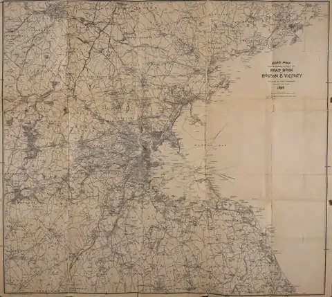
- The large folding map bound at the back, lettered 'Drawn & engraved expressly for Road Book Boston & Vicinity, published by Chas. A. Underwood, Jamaica Plain, Mass.' and printed by Geo. H. Walker & Co., covering the road network from Boston harbour inland.
Images in this book 28 pictures from 96 pages
Illustrations 4
 (opens in a new tab)
 Road Book Cover Design  (opens in a new tab)
 Sparrell Publisher Mark 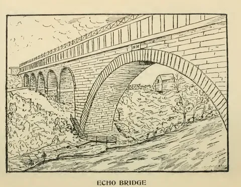 (opens in a new tab)
 Echo Bridge 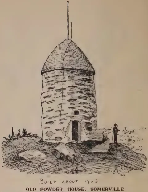 (opens in a new tab)
 Old Powder House, Somerville
Photographs 2
 (opens in a new tab)
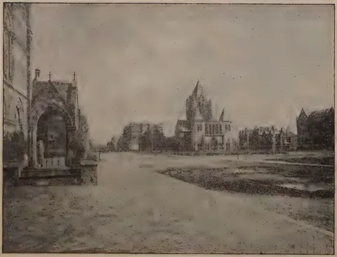
 Copley Square 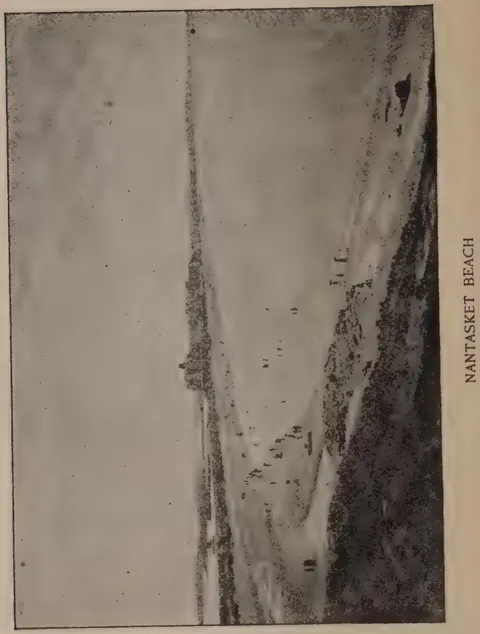 (opens in a new tab)
 Nantasket Beach
Maps 1
 (opens in a new tab)
 Road Map: Boston and Vicinity
21 advertisements
 (opens in a new tab)
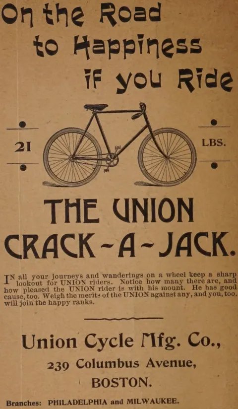
 Union Crack-A-Jack Bicycle 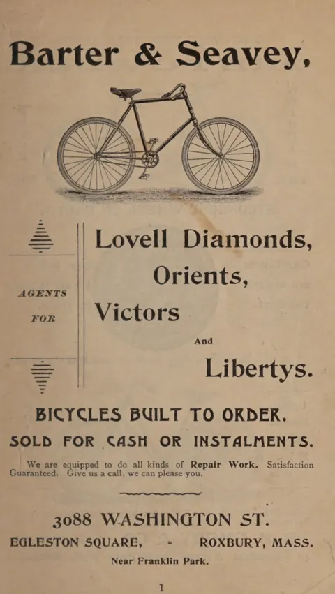 (opens in a new tab)
 Barter & Seavey Bicycles 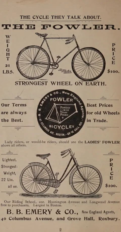 (opens in a new tab)
 Fowler Bicycles 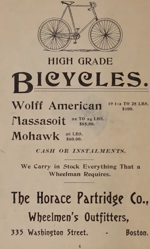 (opens in a new tab)
 Horace Partridge High Grade Bicycles 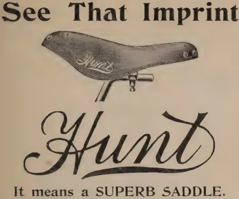 (opens in a new tab)
 Hunt Bicycle Saddle 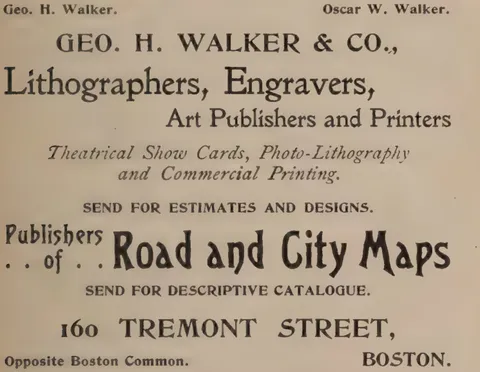 (opens in a new tab)
 Geo. H. Walker & Co., Lithographers and Engravers 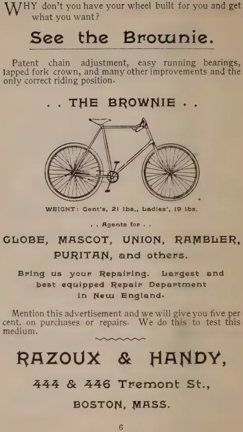 (opens in a new tab)
 Brownie Bicycle 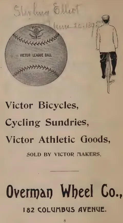 (opens in a new tab)
 Victor Bicycles 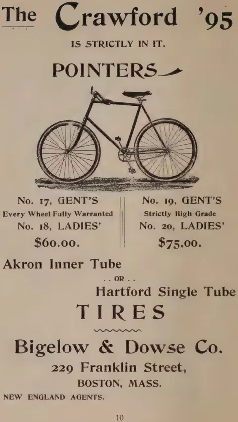 (opens in a new tab)
 Crawford '95 Bicycle 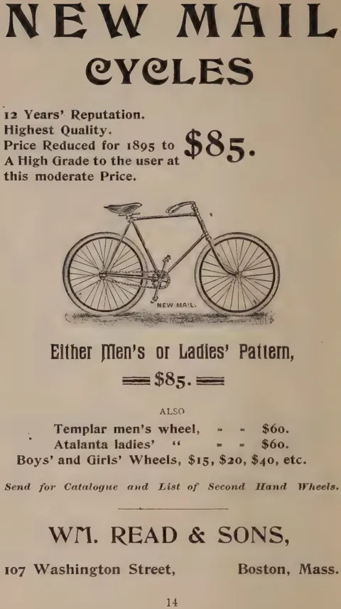 (opens in a new tab)
 New Mail Cycles 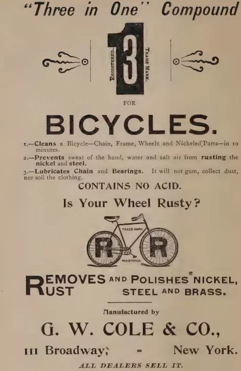 (opens in a new tab)
 Three in One Compound 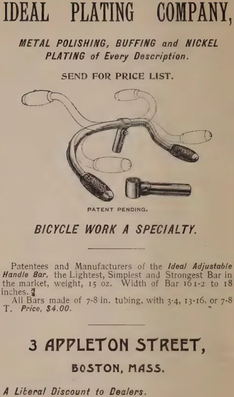 (opens in a new tab)
 Ideal Plating Company Handle Bar 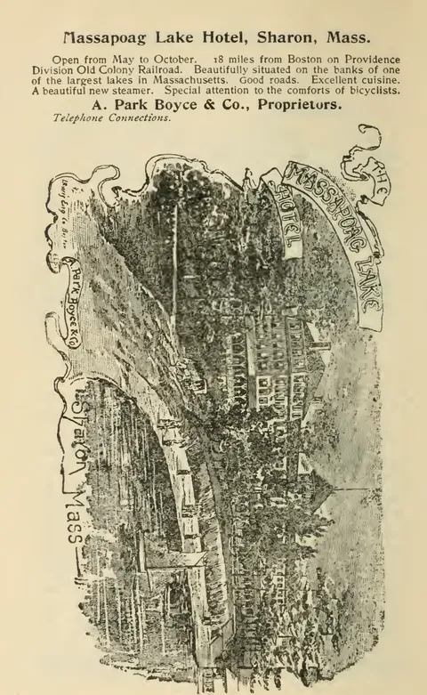 (opens in a new tab)
 Massapoag Lake Hotel 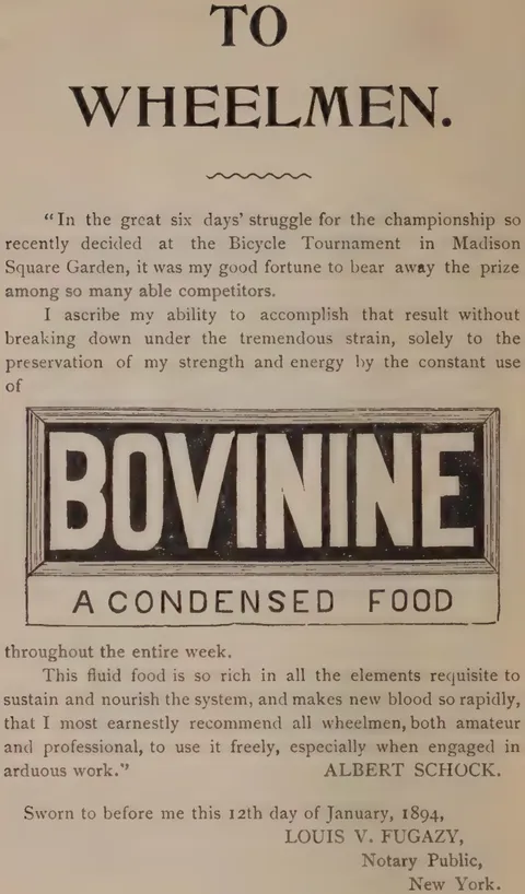 (opens in a new tab)
 Bovinine 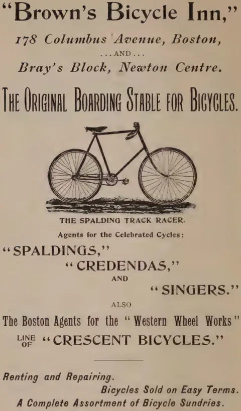 (opens in a new tab)
 Brown's Bicycle Inn 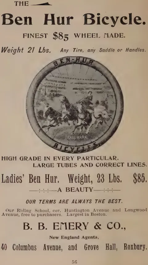 (opens in a new tab)
 Ben Hur Bicycle Wheel 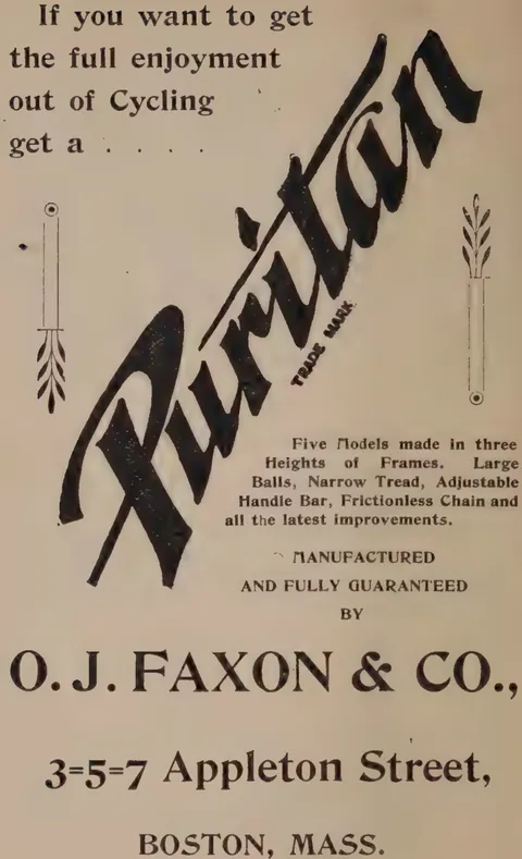 (opens in a new tab)
 Puritan Bicycle 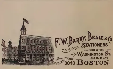 (opens in a new tab)
 F.W. Barry, Beale & Co. Building 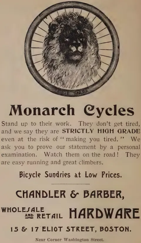 (opens in a new tab)
 Monarch Cycles Lion Head 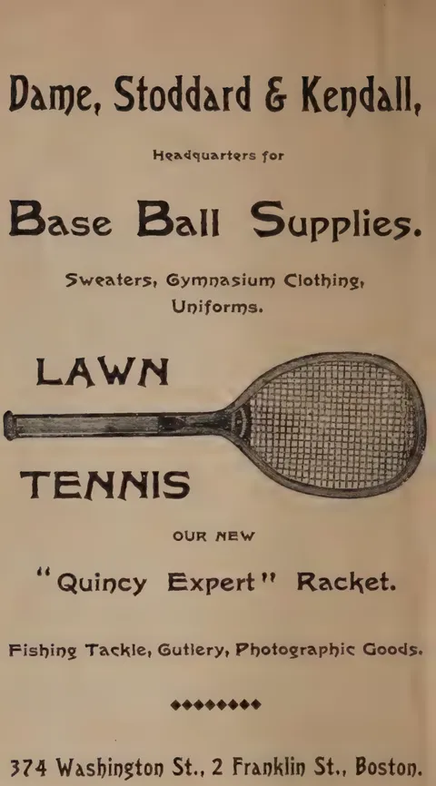 (opens in a new tab)
 Dame, Stoddard & Kendall 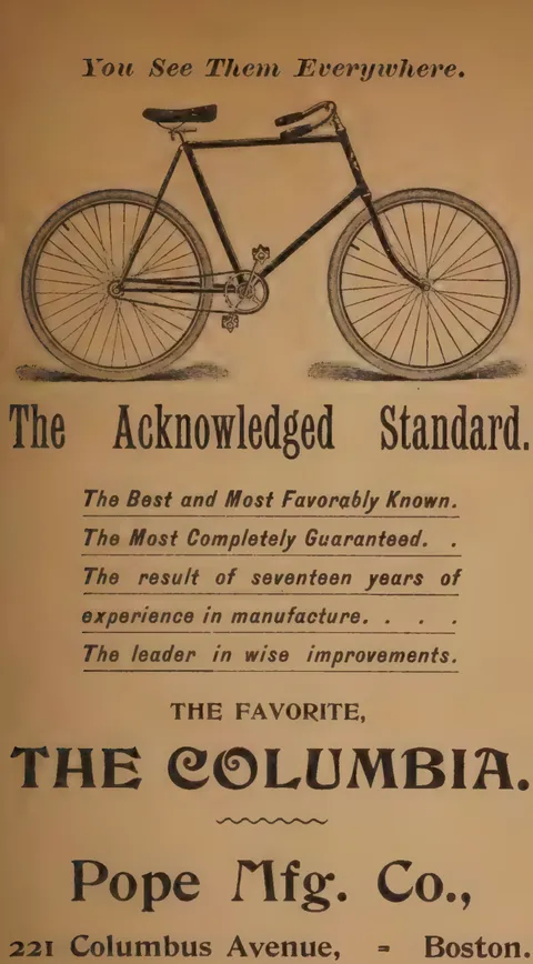 (opens in a new tab)
 Columbia Bicycle