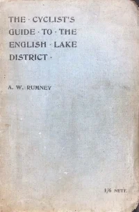
The Cyclists Guide to the English Lake District 1899
By A. W. Rumney189927 chapters42 images
Cite this book
Citation
A. W. Rumney. The Cyclists Guide to the English Lake District 1899. 1899. cyclearchive.com, https://cyclearchive.com/books/the-cyclists-guide-to-the-english-lake-district-1899/
Page numbers are pages of the PDF, which can differ from the numbers printed on the page.
Contents
- Rumney explains that the book is not an exhaustive route book for the whole of Cumberland, Westmorland, and the Furness division of Lancashire, but a complete set of routes for cycling tourists visiting the Lake District to see the scenery, combining the functions of route book and guide book in one volume, supplemented by profile and 'strip' maps of the road turnings.
- Argues that the old idea of the Lake Country being unsuitable for cycling has passed away thanks to County Council roads, the pneumatic tyre and better hill-climbing machines; discusses the district's heavy but concentrated rainfall and the best seasons (early summer and autumn), notes that the Stake, Sty Head and Sticks passes are fit only for pedestrians, and praises the varied scenery of Windermere, Rydal, Grasmere, Honister, Scafell, Wast Water and Derwentwater with its Wordsworth, Southey and Coleridge associations.
- Advises how to enter the district: southern travellers by road via Carnforth and Levens Bridge (Route II) or by rail to Windermere or Lake Side; tourists from Scotland via Carlisle to Penrith; and Tynesiders via Alston and the six-mile Hartside climb, followed by an equal descent across the Vale of Eden to Penrith.
- Outlines sample itineraries, including a fortnight's day-by-day plan starting at Newby Bridge and taking in Coniston Old Man, Ambleside, Keswick, Bassenthwaite, Wastdale, Eskdale, Broughton and Patterdale, together with shorter week or eight-day plans and an S-shaped route for those with less time.
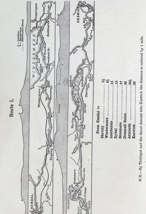
- The most frequented main trunk road, climbing out of Kendal by the steep House of Correction hill, past Calgarth Hall and Troutbeck Bridge to Low Wood, Waterhead and Ambleside (Stock Ghyll Fall), then over Dunmail Raise (King Dunmail's cairn) past Grasmere and down the Thirlmere valley toward Skiddaw, Blencathra, Catbells and Causey Pike into Keswick.
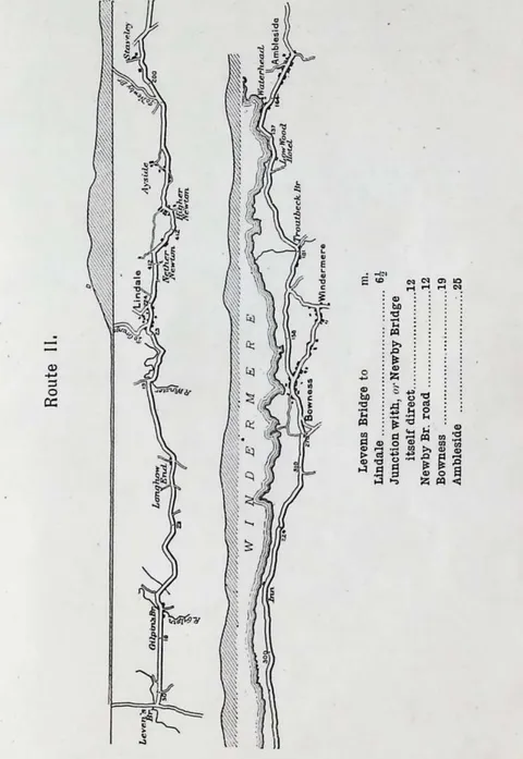
- The picturesque secondary approach from the south: ten miles from Carnforth through Betham, Milnthorpe and Heversham to Levens Bridge (with a possible detour through Dallam Park), then a long easy descent with Coniston Old Man predominant, cutting off the Newby Bridge corner to follow the eastern shore of Windermere toward Ambleside.
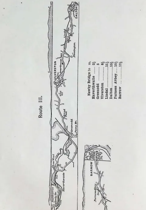
- One of the finest roads in the district, undulating along the eastern bank of the Leven past Backbarrow and Haverthwaite (branch to Holker, Cark and Flookburgh) through Dalton, birthplace of the painter George Romney, to Furness Abbey and Barrow; notes day-trips to Conishead Priory Hydro, Ulverston, Bardsea and Coniston.
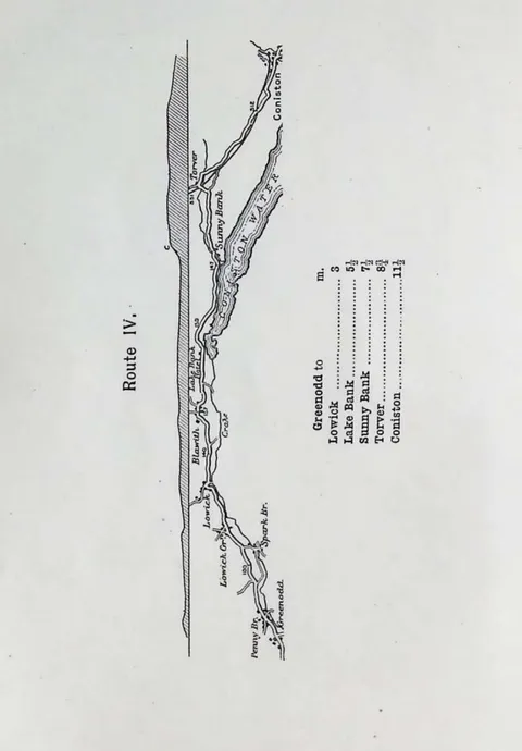
- A fine broad firm road from Greenodd (the direct Ulverston hill road being inadvisable) up the well-wooded Crake valley past Penny Bridge hamlet to Lowick, where the direct roads from Ulverston and Broughton by Grizebeck come in, continuing to Coniston.
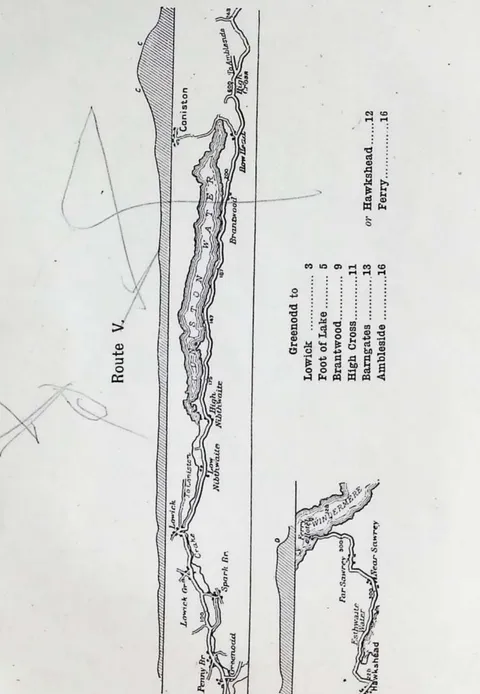
- Follows the eastern bank of Coniston Water, crossing the Crake at Lowick and skirting the shore, rising past Brantwood (the villa of Mr. John Ruskin) with really fine views of the head of the lake and the Coniston Fells on the way toward Ambleside.
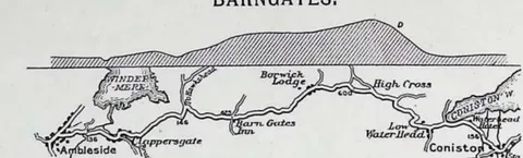
- The outward coach route from Ambleside opposite the White Lion, crossing the Rothay and climbing steadily via Clappersgate to the Barngates Inn and the High Cross watershed, then a dangerous descent as steep as 1 in 9 with zigzags down to Coniston village.
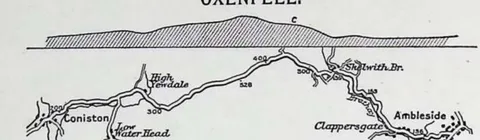
- The return coach route taken by the Ambleside coaches, following the craggy Yewdale valley to High Yewdale and climbing to the Oxenfell summit (about 500 feet, some four miles from Coniston) before descending through Clappersgate to Ambleside.
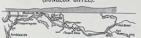
- The favourite day driving trip from Ambleside via Clappersgate, Skelwith Bridge, Elterwater and Chapel Stile to Dungeon Ghyll beneath the Langdale Pikes, Pavey Ark and Bow Fell; describes the grand 20-mile 'Round of the Langdales' by Colwith, Little Langdale, Blea Tarn, Red Bank and Grasmere, warning that the Little to Great Langdale road and Red Bank are very bad for cyclists.
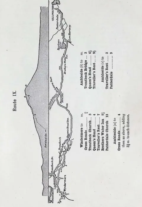
- Ascends Kirkstone Pass, best done from Windermere up the east side of the Troutbeck valley rather than by the steep direct 'struggle' from Ambleside; passes the inn that wrongly claims to be the highest inhabited house in England, reaches the summit at 1,468 feet by the Kirk Stone, and descends to Patterdale on Ullswater.
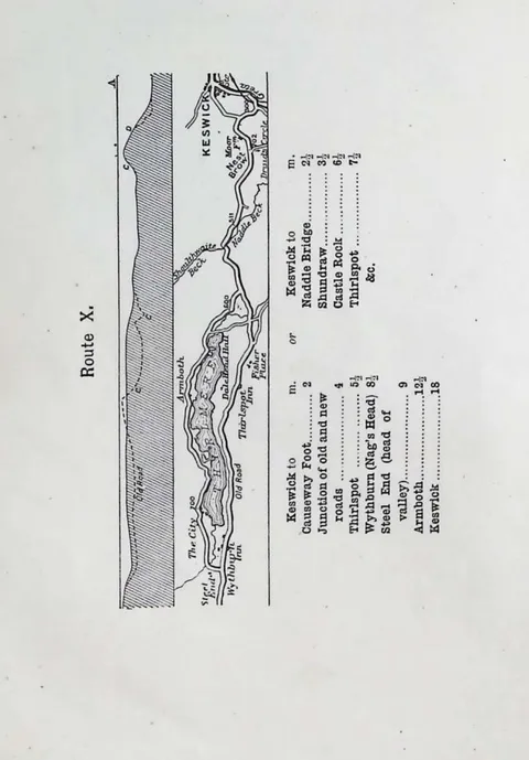
- The most popular half-day run from Keswick, involving the long walk up Castlerigg Brow (passing the house Shelley occupied on his first honeymoon), then a good nearly level road round Thirlmere past Fisher Place and Dale Head Hall, with views of St. John's Vale, Castle Rock, Blencathra and the Sticks Pass to Patterdale.
- An easy and delightful run of some 17 miles from Keswick via Dancing Gate Farm at the base of Skiddaw, Mirehouse, Bassenthwaite Vicarage, Castle Inn, Ouse Bridge over the Derwent and Peil Wyke, returning through Braithwaite and Portinscale; incorporates a little six-mile round by the Millbeck and Applethwaite terrace drive.
- A short but arduous circuit of some nine miles from Keswick, best taken by the western side first via Portinscale, Hause End and Catbells (with a C.T.C. danger board on the reverse) to Grange, returning by the comparatively level Lodore road past Barrow Falls, the Great Wood, Falcon Crag and Walla Crag.
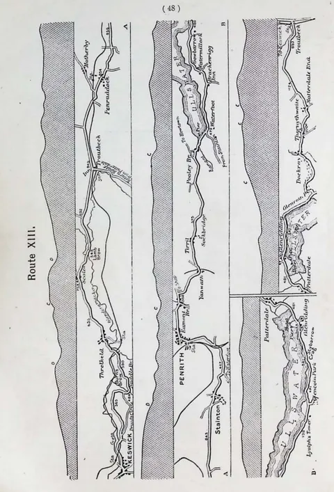
- A long round from Keswick via Threlkeld, Scales and Troutbeck, over Burns Brow past the Druid's Circle to Penrith and Pooley Bridge (with short cuts by Dalemain Park or Eamont Bridge), then down Ullswater past Gowbarrow, Glencoin, Lyulph's Tower and Aira Force to Patterdale, returning by Dockray and Troutbeck.
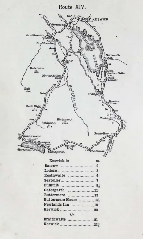
- The famous round from Keswick, best assisted by the Borrowdale bus, running past Barrow, Lodore, Grange and Rosthwaite to Seatoller and over the pass, then through the prodigious shingle to Gatesgarth and Buttermere village (with Scale Force, the High Stile crags, Gable and Hay Stacks), returning by Newlands Inn, Causey Pike and Braithwaite.
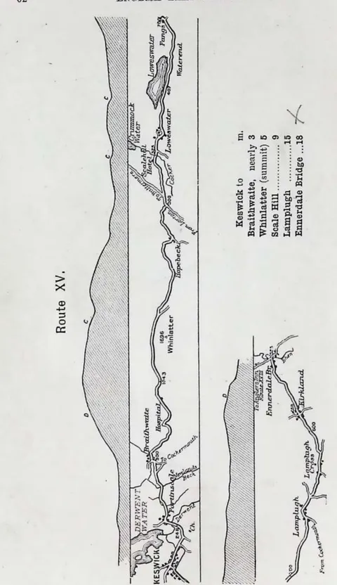
- A connecting route between the northern and western portions of the district, climbing over the Whinlatter Pass along the flank of Grisedale Pike above Thornthwaite to Scale Hill, then past Loweswater hamlet and lake and Lamplugh to Kirkland and Ennerdale Bridge and the lake; can be extended to Cockermouth or Seascale.
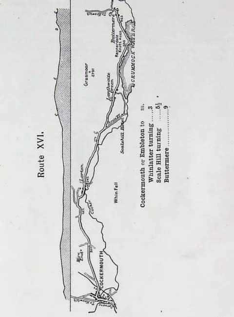
- Best approached from Cockermouth (by Kirkgate or the Jubilee Bridge, past the Cemetery, Mire End cross roads and Embleton) down the Lorton Valley to Crummock Water, the unfenced road winding between the lake and Rannerdale Knott with splendid views of Mellbreak, Red Pike, Great Gable and the precipitous edge of Honister Crag.
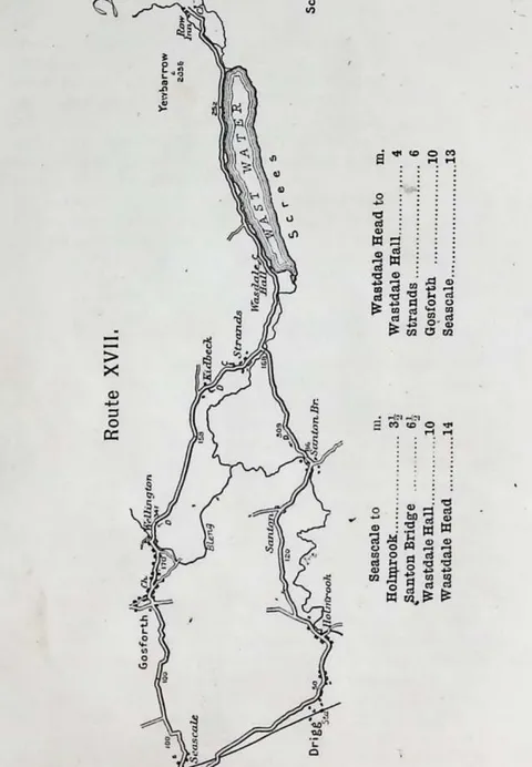
- From Seascale, a poor cycling 'centre' connected to the world by only two roads, up the deep well-wooded Irt valley past Wastdale Hall to Wast Water, with its famous Screes and Great Gable (the Needle, Sphinx and Kern Knotts rocks); returns by Strands, Gosforth's Runic Cross and Wellington. (The printed route heading OCRs only as 'SEASCALE'; the destination is reconstructed from the body and index.)
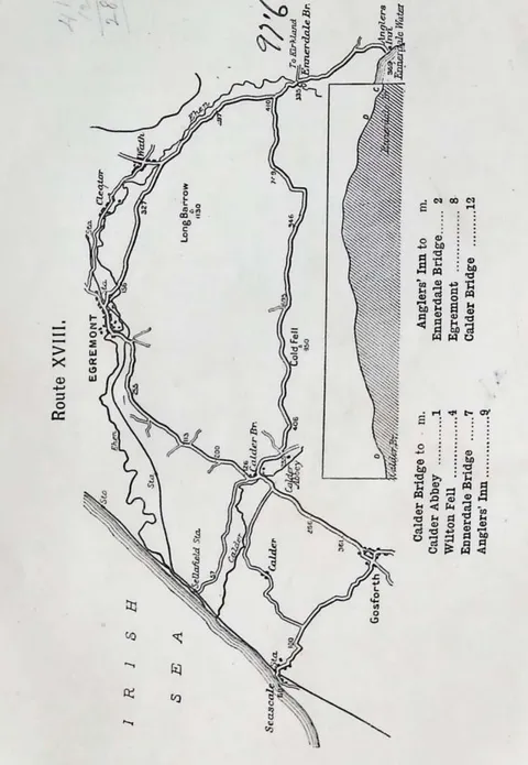
- The second char-a-banc expedition from Seascale, via Calder Bridge and Abbey over Cold Fell to Ennerdale Bridge and the lake at the Anglers' Inn, returning by the leveller Egremont road along the Ehen; notes a four-mile detour to the watering-place of St. Bees.
- Visits Boot, the capital of Eskdale, by way of Lord Muncaster's private road along the base of Muncaster Fell, Dalegarth Hall and the horse-tail Stanley Ghyll Fall, returning across Mitredale and over Irton Fell; mentions the Hardknott and Wrynose passes as practicable only for riders willing to push their cycles half the distance.
- The Cumberland seaboard road from Skinburness and Maryport through Workington, Whitehaven harbour and Egremont, then south past Bootle (Jubilee Memorial Cross) and Silecroft to Broughton and the Duddon, firm but hilly and, on the loose southern coast stretch between Ravenglass and Broughton, only the best of a bad lot.
- A route seldom taken by the average tourist, running fifteen miles from Penrith via Askham (between the church and the Lowther keep) and Bampton to the Dun Bull at the head of Hawes Water and Mardale; can be combined with the trip to Patterdale.
- Tabulates rough routes for the hardy rider, including Ambleside to Eskdale over the Wrynose (1,270 ft) and Hardknott (1,290 ft) summits by Cockley Beck, and Coniston to Little Langdale and Dungeon Ghyll over Blea Tarn, together with useful through-routes outside the Lake District such as Keswick to Carlisle, Carlisle to Penrith and Penrith to Shap.
- An alphabetical index of the places named in the guide, from Aira Force to Yewdale, with page references, the most important shown in heavy type.
Images in this book 42 pictures from 108 pages
Photographs 12
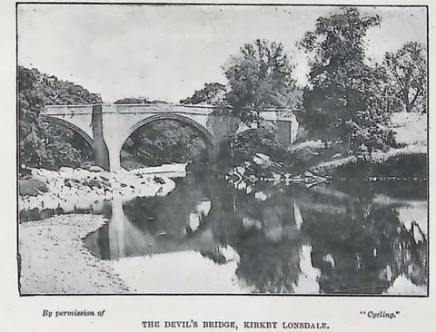 , Photograph, page 6 (opens in a new tab)
 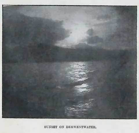 , Photograph, page 51 (opens in a new tab)
 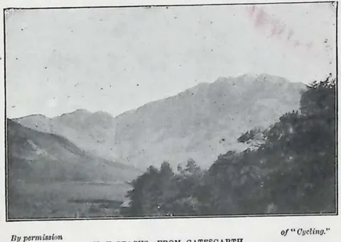 , Photograph, page 62 (opens in a new tab)
 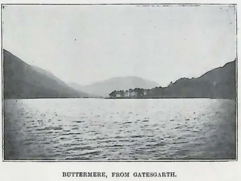 , Photograph, page 63 (opens in a new tab)
 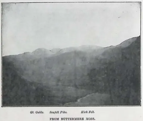 , Photograph, page 64 (opens in a new tab)
 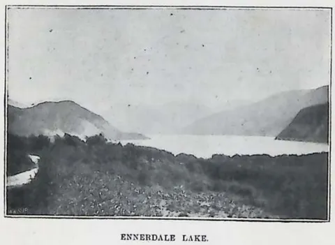 , Photograph, page 69 (opens in a new tab)
 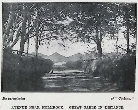 , Photograph, page 78 (opens in a new tab)
 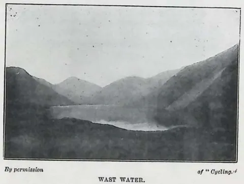 , Photograph, page 79 (opens in a new tab)
 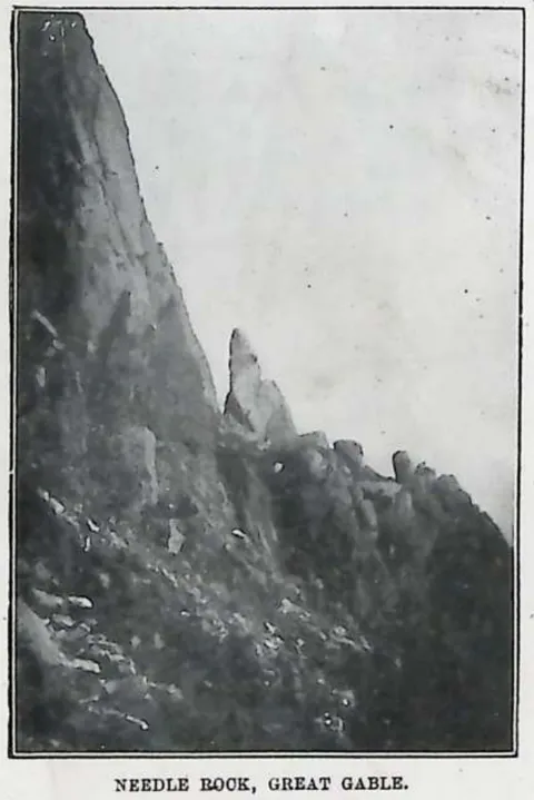 , Photograph, page 80 (opens in a new tab)
 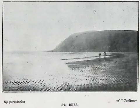 , Photograph, page 84 (opens in a new tab)
 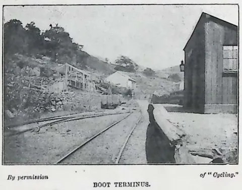 , Photograph, page 88 (opens in a new tab)
 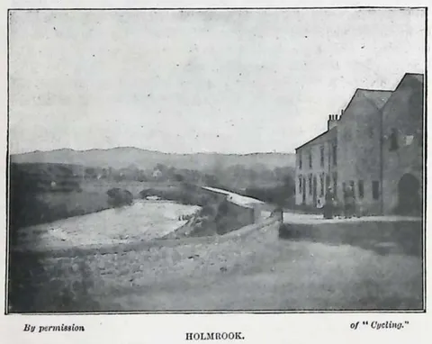 , Photograph, page 92 (opens in a new tab)
Maps 5
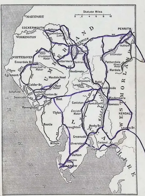 , Map, page 17 (opens in a new tab)
 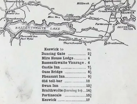 , Map, page 45 (opens in a new tab)
 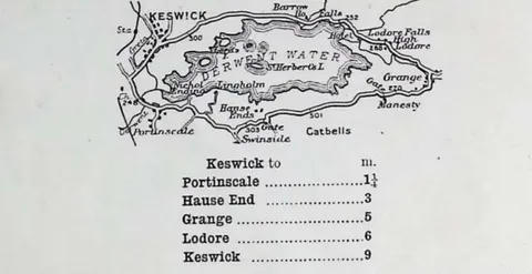 , Map, page 48 (opens in a new tab)
  , Map, page 58 (opens in a new tab)
  , Map, page 76 (opens in a new tab)
Diagrams 16
 , Diagram, page 18 (opens in a new tab)
  , Diagram, page 23 (opens in a new tab)
  , Diagram, page 26 (opens in a new tab)
  , Diagram, page 30 (opens in a new tab)
  , Diagram, page 32 (opens in a new tab)
  , Diagram, page 34 (opens in a new tab)
  , Diagram, page 36 (opens in a new tab)
  , Diagram, page 37 (opens in a new tab)
  , Diagram, page 39 (opens in a new tab)
  , Diagram, page 42 (opens in a new tab)
  , Diagram, page 52 (opens in a new tab)
  , Diagram, page 66 (opens in a new tab)
  , Diagram, page 71 (opens in a new tab)
  , Diagram, page 82 (opens in a new tab)
 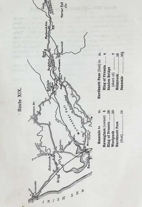 , Diagram, page 86 (opens in a new tab)
 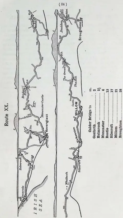 , Diagram, page 90 (opens in a new tab)
9 advertisements
 , Advertisement, page 100 (opens in a new tab)
  , Advertisement, page 101 (opens in a new tab)
 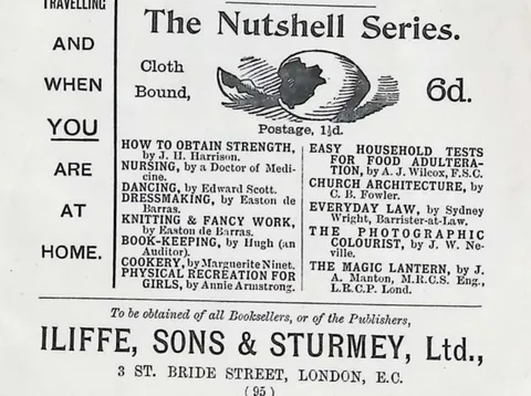 , Advertisement, page 101 (opens in a new tab)
 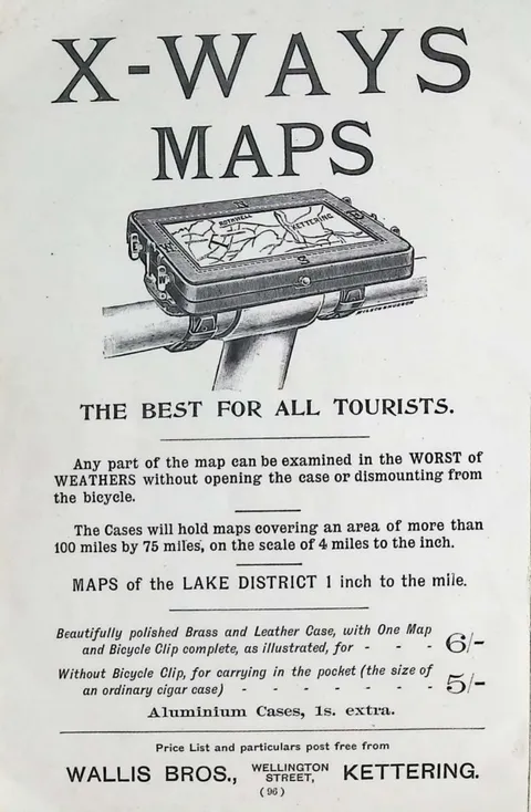 , Advertisement, page 102 (opens in a new tab)
 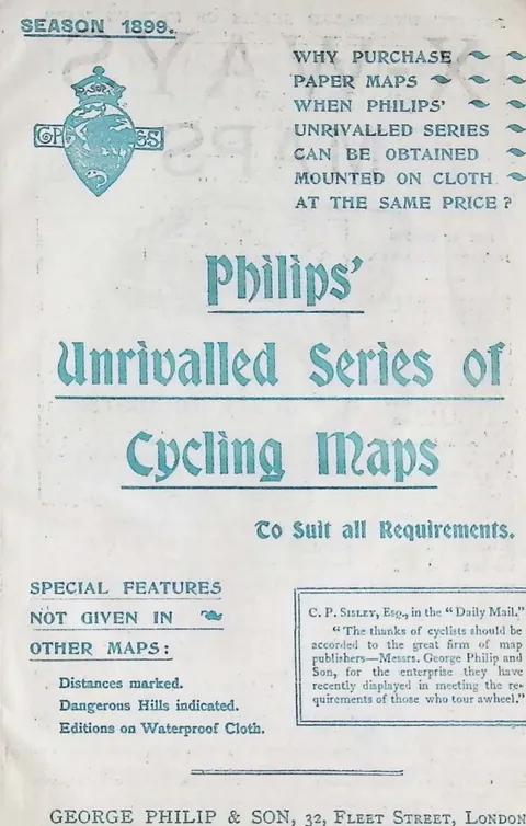 , Advertisement, page 103 (opens in a new tab)
 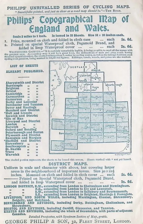 , Advertisement, page 104 (opens in a new tab)
 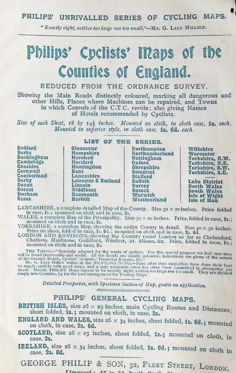 , Advertisement, page 105 (opens in a new tab)
 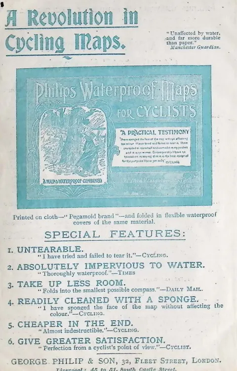 , Advertisement, page 106 (opens in a new tab)
 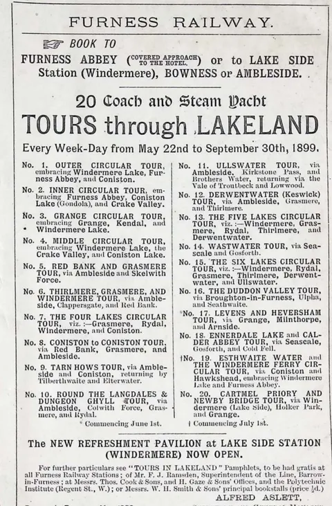 , Advertisement, page 107 (opens in a new tab)